首页
PLUS
AI 生成工具
全新
人工智能图像生成器
按您的想像提供创意
全新
人工智能图像放大器
一键将您的图片放大到4倍!
全新
AI 生成填充
几秒钟内就能移除和更换物件!
全新
AI 背景模糊
模糊背景,突出主题!
AI 背景组合
您的产品的专业背景
AI 图片扩展器
将您的图片扩展到不同的比例。
AI人工智能作家
数位时代最佳的写作伴侣
AI 移除背景
轻松去除不需要的背景。
123RF PLUS
获得由尖端人工智能工具驱动的创新解决方案。
升级至PLUS
我们有2个新的AI工具!
立即查看人工智能图像放大器和AI 生成填充!
好的
免费图像
库存
摄影图像
矢量图
视频
音频
字体
Corporate+
价格
援助
gb
English
Deutsch
Español
Français
Magyar
Italiano
日本語
한국어
Nederland
Język polski
Português (PT)
Русский язык
简体中文
繁體中文
Türkçe
登录
无限制
以图搜寻
使用图片而非文字在123RF中搜寻。尝试将图片拖曳至搜寻框中。
拖放文件或
浏览
拖曳图片至此
全部图像
选项
以图搜寻
PREMIUM
全部图像
摄影图像
矢量图
视频
音频
字体
FREE
PLUS
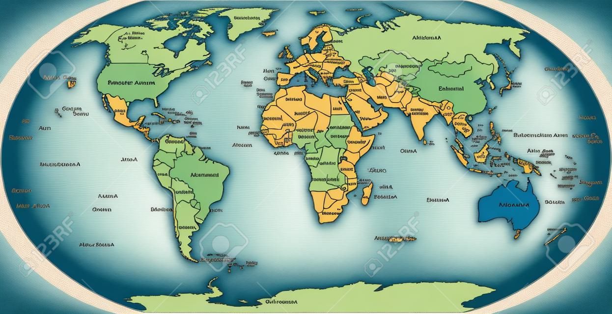
World map with shorelines, national borders, oceans and seas under the Robinson projection. English labeling. Illustration.
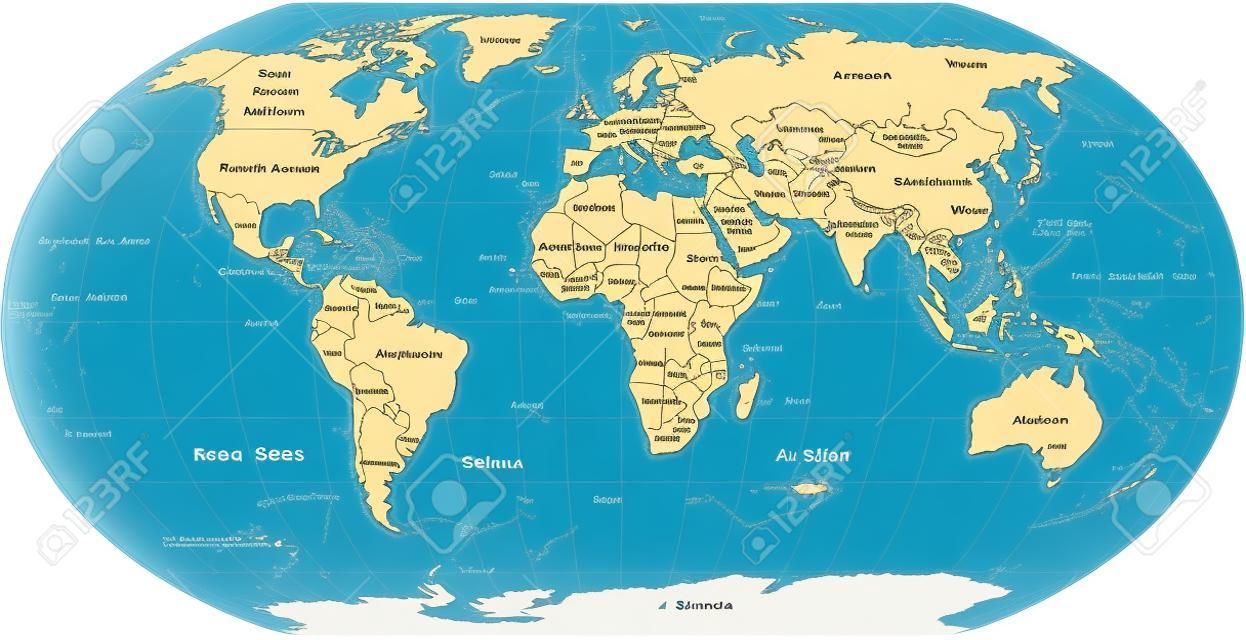
AI Variation
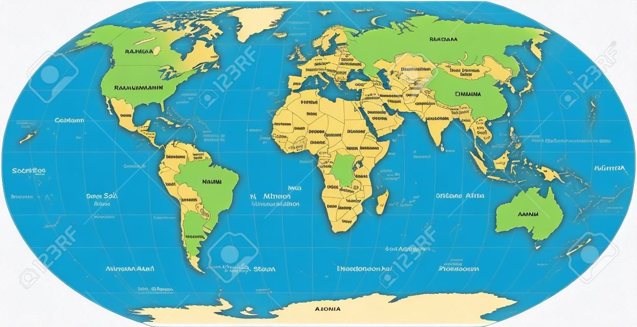
AI Variation
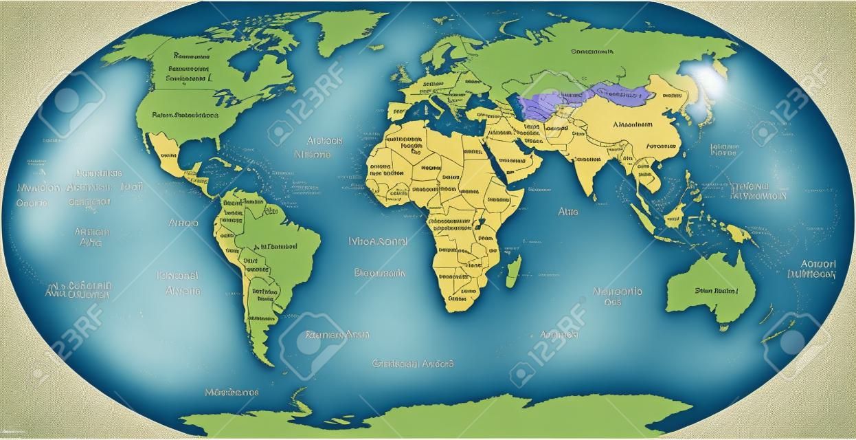
AI Variation
AI Variation
peterhermesfurian
关注
预览
分享
X
Facebook
Pinterest
61832571
PLUS 库存矢量图像
(SVG 或 EPS)
相关图片搜索
土
南
大西洋
制图法
海
北
海洋
地理
表面
岸
世界
地球
国
地球
和平的
舆图
投影
美国
边界
亚洲
欧洲
海岸线
政治
海岸线
岛
南极洲
大陆
地图
非洲
澳大利亚
类似图片库 (矢量图片,SVG与EPS)


 Pinterest
 61832571